
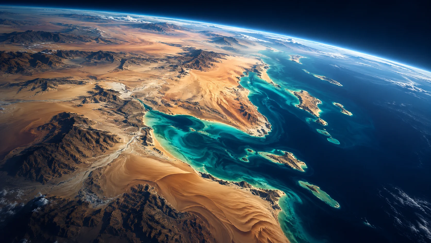
From orbit, patterns become visible that are difficult to recognize on the ground.
Earth-observation satellites measure reflected sunlight, temperature and other signals. Researchers can use these observations to study vegetation, coastlines, land-use change and large dust events. A satellite image is not a magical photograph that reveals everything: scientists must calibrate instruments, interpret data and compare results with ground measurements.
For arid environments such as Qatar, satellite data can support research into heat, environmental change and resource management. Different sensors answer different questions, and cloud cover, resolution and measurement uncertainty can limit what researchers conclude.
Looking at Earth from a different angle
A satellite image is not simply a photograph. Sensors may record different parts of the electromagnetic spectrum, allowing researchers to study vegetation, surface temperature, water and land-cover changes. By comparing images captured over time, scientists can identify patterns that are difficult to observe from the ground. The method is especially interesting in arid environments, where small changes in vegetation or water availability can matter.
What an image cannot tell you alone
Remote-sensing data needs careful interpretation. Dust, cloud cover, sensor resolution and seasonal variation can complicate analysis. Researchers often combine satellite measurements with observations taken on the ground to check their conclusions. A strong QScience Hub feature could explain how scientists might investigate urban expansion, coastal change or vegetation health in Qatar, while clearly distinguishing illustrative examples from published local findings.
The QScience takeaway
The exciting part is the combination: space-based observations plus local scientific knowledge can turn a distant image into useful environmental evidence.